arailer3.jpg (48680 bytes)


  Ascend along a gully approximately 1.5 km, or a 30-minute uphill walk into  the heavily eroded and mysterious volcanic crater of Mt. Ara, named after the handsome early Armenian god/hero/king killed and brought back to life under mythological circumstances involving Queen Semiramis (but less elegantly called in Perso-Russian times Garniyarigh _"Torn Stomach" in Turkish). Built into a mossy cave, complete with sacred spring, is the shrine of Kuys Varvara (the Virgin Barbara), also known as Tsakhkevank, with saint’s tomb, altar, ferns, and candle vendors. The Vatican has decided that St. Barbara, like St. Christopher, is probably mythical, but if she did exist she was martyred by her cruel father for espousing Christianity, or alternatively  snatched away by angels. Local holy person will say prayers and help you nick the comb or ear of rooster or sheep before you sacrifice it down below in gratitude for anticipation of the saint’s healing intercession. Picnic tables available. In the gorge leading into the crater are house and fortification walls. Further up the crater to the right of the shrine is another small cave with a cross and some pictures of the saint. To the left of the shrine, along a narrow path, are faint traces of a medieval building. There is at least one bear roaming the mountain, and two snakes; also, other caves, rock formations, and a strenuous but scenic hike around the crater rim (ca. 3 hours; the trail up, like St. Barbara herself, existentially challenged).

a6.jpg (47975 bytes)
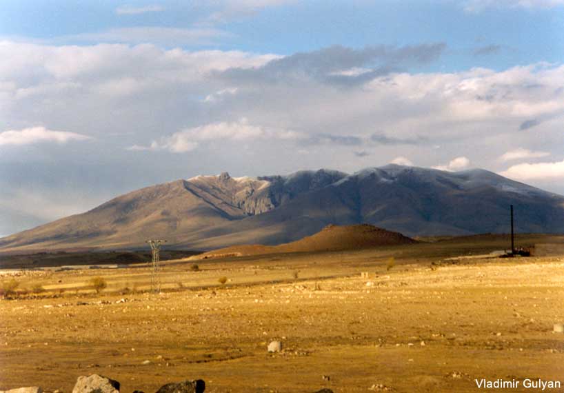
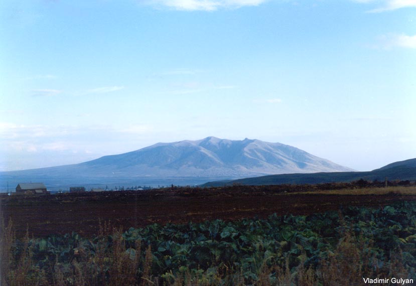
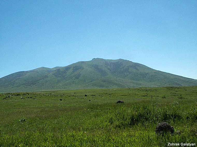
View of the Arailer    mountain from the main Ashtarak Highway (SW)

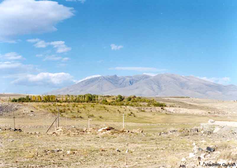
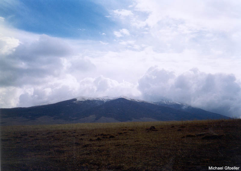
  View of the mountain from the town of Aparan (NW)

arailer2.jpg (41615 bytes)


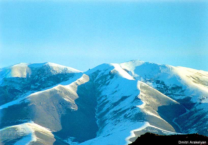
  View of the Arailer    mountain crater from the main Ashtarak Highway


arailer1.jpg (34405 bytes)

s10.jpg (56109 bytes)

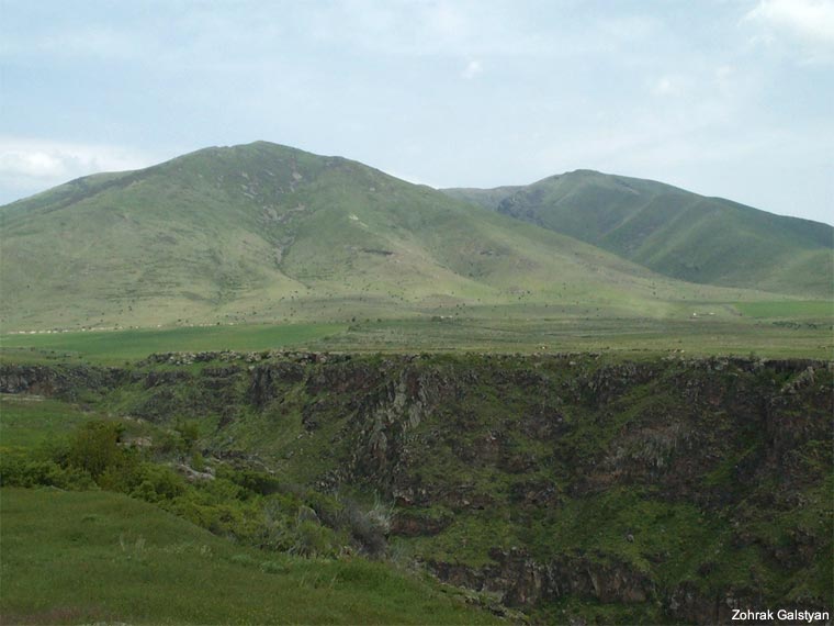
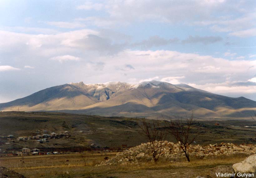
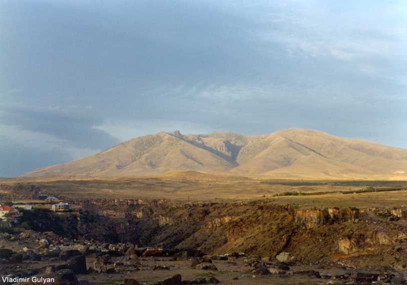
 View of the mountain near the village of Nor Yerznka (W)

 View of the mountain from the village of Saghmosavan (W)

a7.jpg (84303 bytes)

a8.jpg (55381 bytes)

y1.jpg (51807 bytes)

y2.jpg (43981 bytes)

oh5.jpg (42197 bytes)

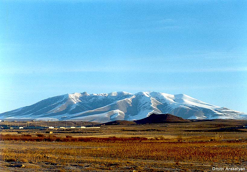
 View of the mountain from the main Gyumri Highway near  Ashtarak (SW)

 Crater of the mountain  from the main Gyumri Highway near  Ashtarak (SW)

View of the mountain from the main Aparan Highway near  Yernjatap (NW)

View of the mountain from the main Aparan Highway near  Yernjatap (NW)

 View of the mountain from the village of Ohanavan (SW)